
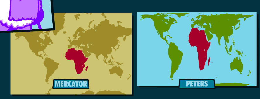
Why does Africa look so small? What kind of world map do you have hanging in your home or classroom?
Our current National Curriculum does not encourage looking at the historical use of maps and why they look they way they do. It often takes knowledgeable staff in a school to push for looking at different map projections.
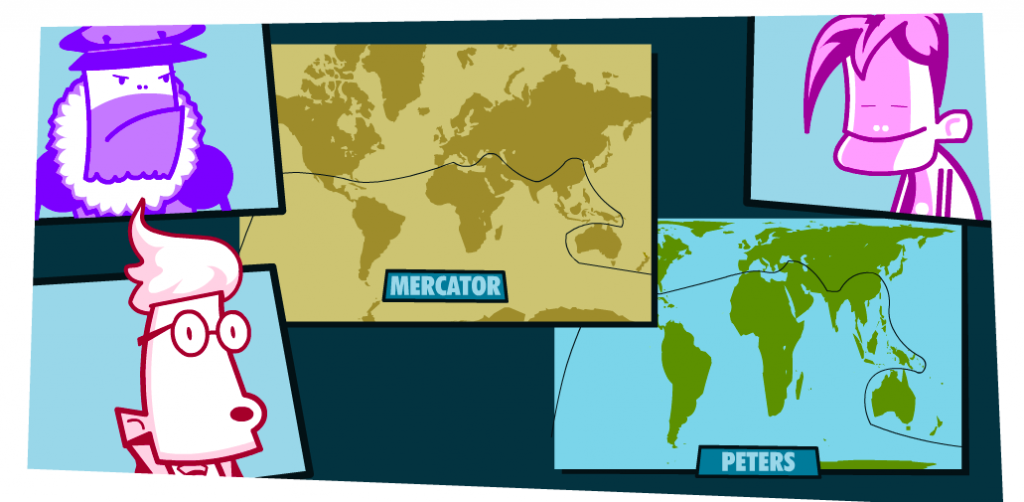
This Oxfam resource, Mapping Our World, looks at how a globe is flattened into different map layouts (including Mercator and Peters projections), and how many times some countries should be able to fit into others. It challenges the idea that there is one ‘correct’ version of a map.
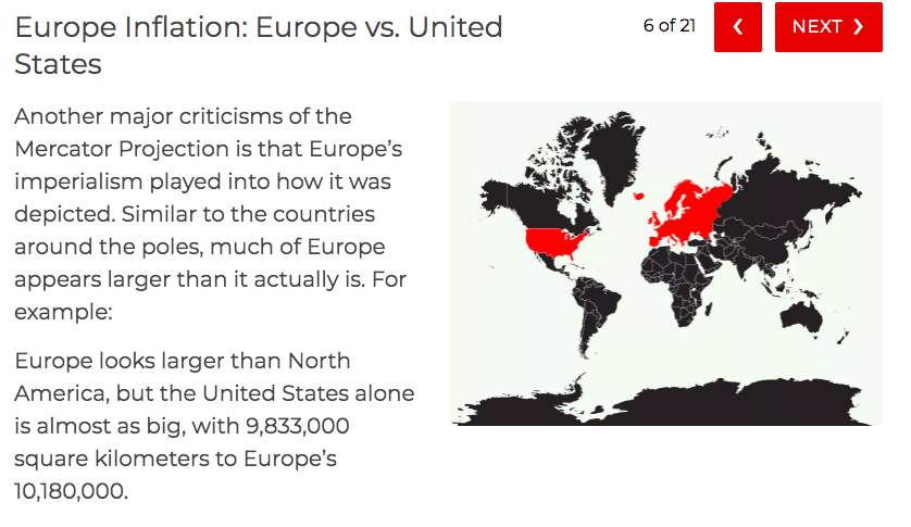
More about the shortcomings of the Mercator projection: Far and Wide
Leave a Reply